March 1 - 7, 2022
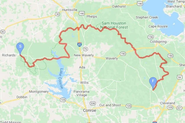
Lone Star Hiking Trail (LSHT) is the longest continuous hiking trail in the state of Texas. It is 96.4 miles long, mile marked incrementally from West to East. The West terminus is south of Richards, Texas, and the East terminus is north-west of Cleveland, Texas.
I choose March 1 to start my hike of the LSHT, based on 10 day weather forecast. I look at the lowest temperature and the days with possible rain. From March 1 – 7, the lowest temperature is 33F, and it is likely to rain on 2 days.
Readers can find a trail map with trailhead locations, at this link.
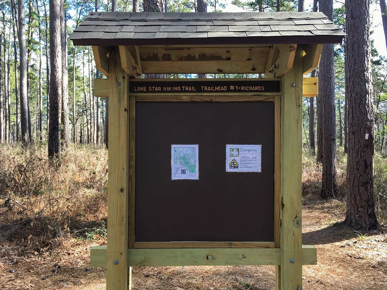
Originally, I plan to leave my car at Trailhead #8 - Four Notch (M45) with 4 days of food and 2 liters of water in it, and take a taxi to Trailhead #1 - Richards to start my hike. I should be able to get to Trailhead #8 at the end of Day 3 or sometime during Day 4. I carry 3 days of food to start my hike. I prefer to start at the west end and hike towards the east end.
If you like to check out my gears, scroll to the bottom and click on the links. I could not get an adaptor in time and had to use the on-camera microphone. The camera limits the video length at 15 minutes. I recorded post-hike gears in two parts, about 10 minutes each.
Day 1 – Focusing on Lake Conroe (M16.6)
On March 1, I arrived at Trailhead #8 around 7:40 am, and tried to get a ride from two local taxi services and Lyft. While I am waiting, I thought about caching my water and food around here in the woods, then driving my car to Trailhead #1. But I could not find a good spot to hide my water and food. By 10:00 am, I still could not get a ride. I had to change my original plan, and drove my car to Trailhead #1. It is 35 miles from I-45. I should cross this major highway sometime in Day 3. It may be easier to get a ride at that time to retrieve food and water in my car.
I left my car at Trailhead #1 and started my hike around 10:30 am. I carried 2 liters of water and 3 days of food. With a later start than I had hoped, I wanted to get to M16.6 and camp near Lake Conroe. This was really my focus for the rest of Day 1.
Around noon, I stopped to have lunch. I had 2 tortillas, one with bacons and the other with peanut butter. A hiker came up, said hi and passed me. It was a half an hour lunch break for me. I got up and walked for a short time. Now I saw the hiker passed me earlier. We had conversation this time. Small world, we both live in Katy, TX and really close to each other. I mentioned my difficulty getting a ride in the morning. He said that that there is a Facebook group called Lone Star Hiking Trail Club, and that a member of that club would transport hikers. He only had her name. I am not on Facebook and could not connect with her. I saved her name for later. We hiked together for a couple of miles. He wanted to take a break. I hiked on, as I only stop for lunch. We agreed to meet at Lake Conroe campsite later.
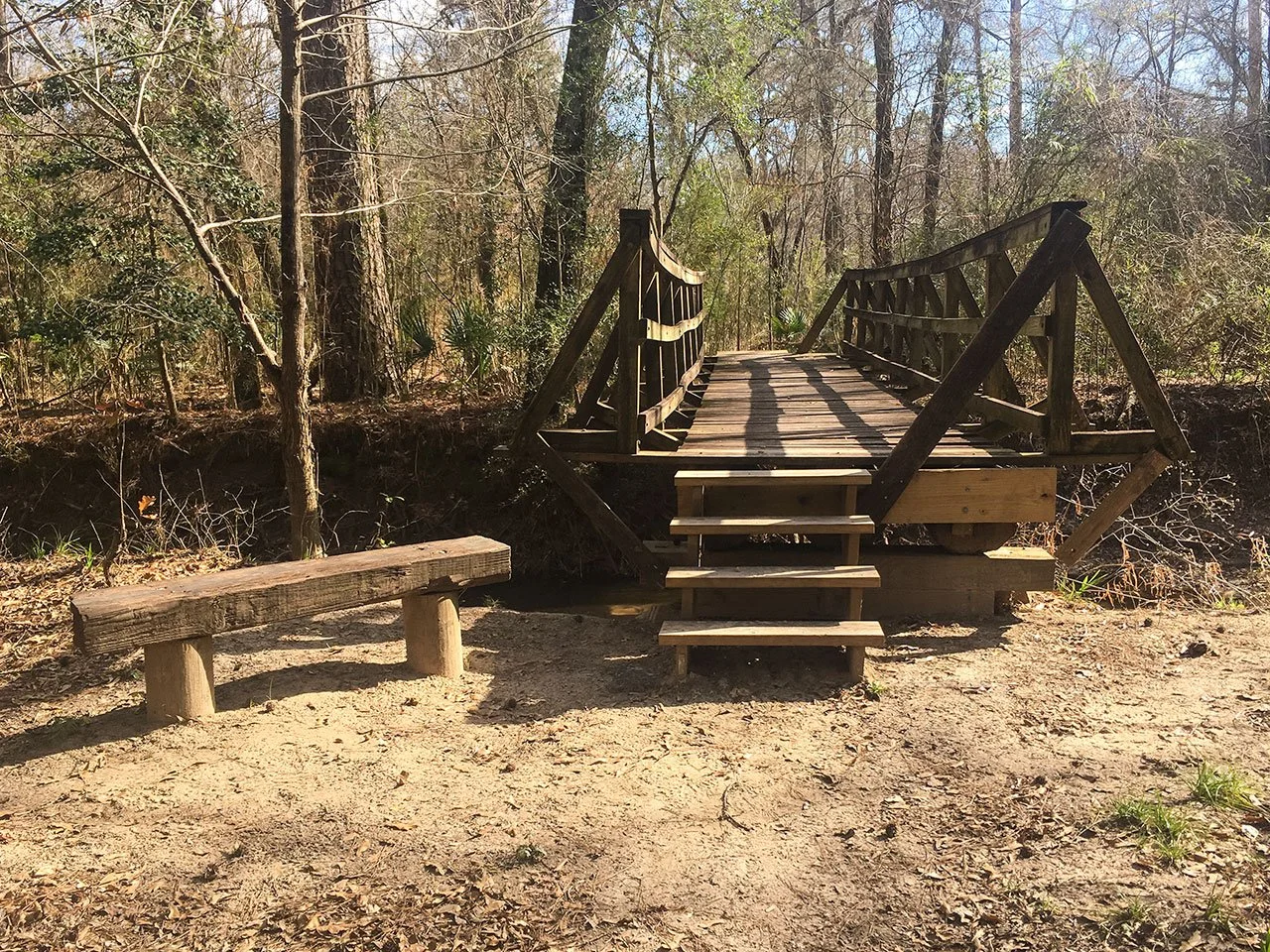
I hiked to a bayou. I thought I need to cross the water and searched for a good crossing path. Just in time, a hiker came up from opposite direction. He said that there is a bridge a little way up. I realized that I had slightly got off trail. We chatted briefly about Lake Conroe, where he stayed the previous night. I am back on trail, and passed this good looking, hand built bridge.
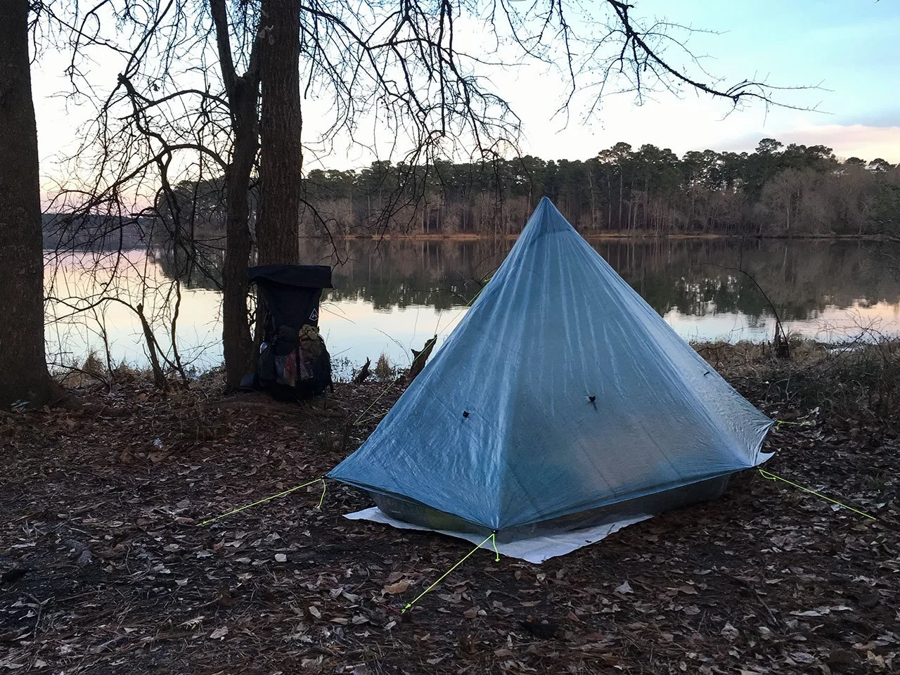
I got to Lake Conroe campsite about 5:30pm. Yes, I met my goal on first day. I found a flat patch and set up my tent. It was a cloudy day, so the sunset is just a graduation to total darkness. I was waiting for the neighbor hiker to emerge; instead I got a message from him saying that he had strained his ankle and had to get out of the trail. At this moment, I recalled that when he sat down, his expression contained something more than just a little fatigue.
This is the coldest night on my trip according to weather forecast. The low would be 33F in the night. I wanted to test my sleep system, Nemo Tensor air pad and Katabatic FLEX 22F quilt. I got my current tent, and quilt all in January this year, and have never actually used them in outdoor situations. Around midnight, a really laud sound woke me up. It sounded like a big kid jumped into swimming pool bottom first. I guess it is a big turtle. When I woke up, I felt warm in my quilt when I laid flat. If I roll to my side, I feel cold draft on my back side coming from the gaps between air pad and quilt. Overall, I think the sleep system keeps me warm as rated. I should wake up alright even if the temperature is another 5F to 10F lower.
Day 2: Hike through confusions (M28.9)
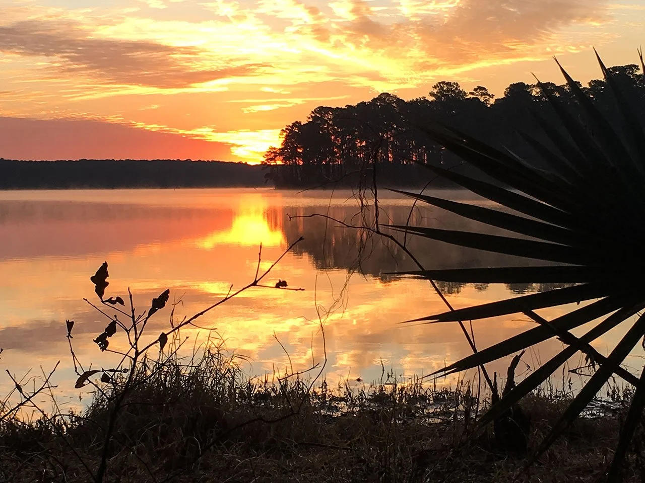
The next morning, I got up to a beautiful sunrise. I filtered some water from lake. The water filter worked, but the water flow out of the filter is really slow. I had to squeeze the CNOC water bladder really hard.
I packed up my backpack and started hiking about 9:00 am. In about an hour, I passed through Stubblefield Campground at M19.7. This is a commercial camp site with restrooms and shower. It costs $15/night. Later, I am told that many people try to get to this camp site on their first day, and have to quit the hike the following day. Hiking 20 mile a day is a tough effort, especially for people without serious training. I also planned to get to this camp by the end of Day 1, but changed my mind when I had to start my hike late.
After I passed Stubblefield Campground, I had a hard time finding the trail for continuation. I walked back and forth on Stubblefield Lake Rd several times. When I finally found the trail, I realized that the trail is not marked accurately on the map used in Maprika app.
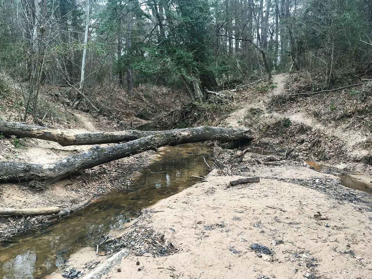
On the trail, there are many blowdowns (fallen trees). Trail maintenance crews come to open up the trail regularly. I like the way this blowdown tree is cleaned up. They cut out the section blocking the trail, and split the cut-off into two pieces, one on each side. This setting looks good to me. Hikers can use the two tree trunks as table or rest their packs.
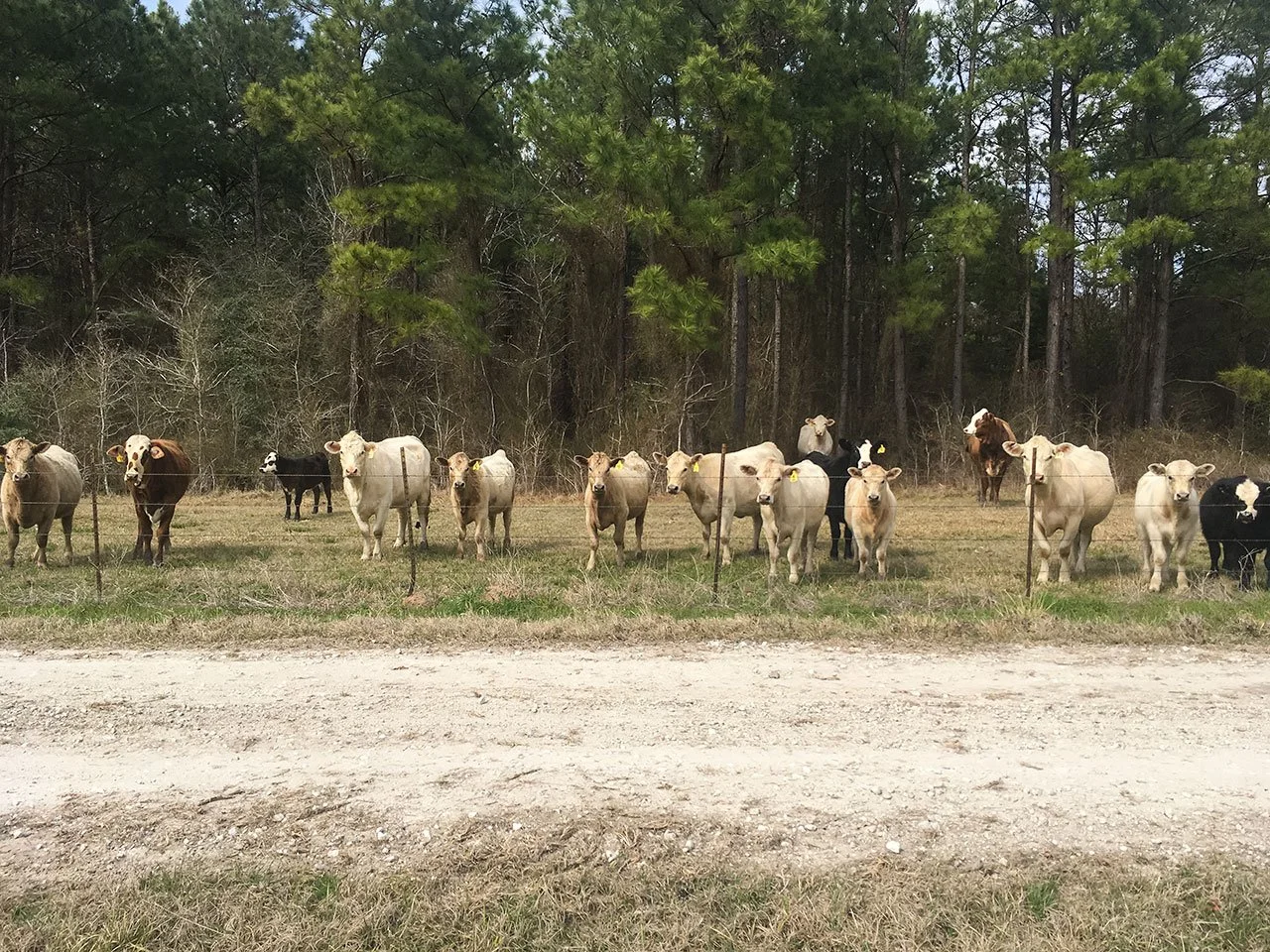
When I approached these cows, they walked away into the woods. When I got off the road to get more of them into my pictures, they walked towards the wire fence. They must like to be photographed.
On Day 2, I met 4 hikers, and chatted with 2 of them. Walking in the opposite direction, they offered me valuable up-to-date trail conditions.
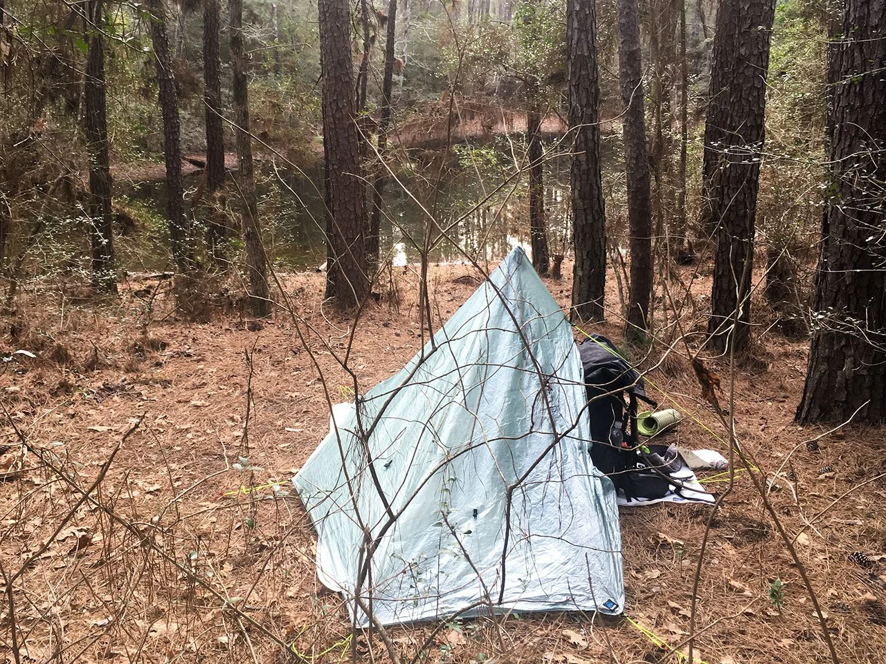
I arrived at West Huntsville campsite just around 3:00 pm. When I was about to set up tent, I realized that I had lost my trekking pole. I think what happened was the following. I had strapped both the trekking pole and my camp shoes on top of my backpack. As I hiked, the stuff in my backpack wiggled and the top strap became loose. At one point, I was tripped and charged forward to maintain balance. My phone and battery bank all flew out. I may have lost the pole there. Now, I found a tree branch as tent pole. It was a little short, so the tent looks low. Since I did not bring any bushcraft tools, I had to settle with whatever I could find. Looking at good part, I am close to water source, a pond all to myself.
I would cross highway I-45 the following day. I need to relocate my car and retrieve my supply. I worked on Google to find the person who would provide transportation to hikers. I only knew her name, Charlotte Tomkavits, and the name of her business. I called several numbers, and none is her number. I decided to try to get a taxi when I hit I-45 the following day instead. A few minutes later, Charlotte called me back. Someone I called had passed my number to her. I guess being polite and persistent can open doors sometime. She agreed to pick me up before noon the following day at Trailhead #7 - Huntsville right across I-45 from the Statue of Sam Houston.
I made dinner, “Ramen Bomb”, a combination of instant noodle and instant mashed potato, with a small pack of tuna. After dinner, I tried to filter some water, but the water flow out of the filter was so slow, and I switched to Aquatabs to get drinking water.
Around mid-night, I hear a group of animals howling and kicking the ground in close distance. Even though I know that animals do not want to have anything to do with humans, more so than we want to stay away from them. Still, I was concerned, OK, scared. If they come close, I cannot run, because it is totally dark; I am not sure I can fight with them either.
Day 3: Nero Day (Nearly Zero, M35)
I did not sleep well, and started to pack early in the morning. I hit the trail at 8:00 am. My plan for the day is only 6 miles to Trailhead #7. I anticipate that it will be several hours to take a ride to my car at Trailhead #1, drive my car to Trailhead #15, and take a ride back to Trailhead #7. I do not feel I can hike enough miles after the business of relocating my car.
I hiked to Trailhead #7 about 10:40 am. Charlotte came to pick me up around 11:00 am. On our way to Trailhead #1, she suggested that I leave my car on her farm and she will pick me up when I hike to the end of the trail. She also offered a RV for me to spend the night. It is a good choice for me, because I can use my car when I am staying on her farm.
On our way to Trailhead #1, she took a detour to pass the Forest Service Office of Sam Houston National Forest, and showed me the statues made by a local artist.
I asked her about the animal howling and fighting last night. She told me that these are normal communications among coyotes. It is their active season. OK, I live and learn.
Later on Day 3, I made several adjustments. First, I retrieved my second trekking pole left in my car. Second, I went to Walmart and bought a Sawyer water filter. Third, I cut up a 16 oz Dr. Pepper bottle and made a scoop to collect water when I got back on trail. Fourth, I left the pair of camp shoes in my car.
I tried to get some good sleep, but my habit of not being able to sleep well at a new place led me to wake up early.
Day 4: Questions and doubts (M51.3)
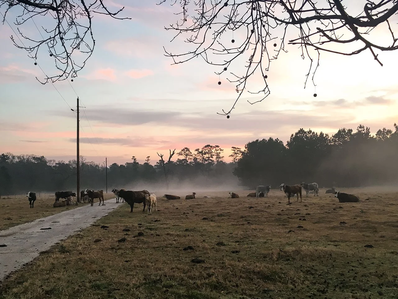
It was a beautiful morning on her farm. If I walk through the cows, I would be on the south bound feeder of I-45.
I carried 4 days of food and 2 liters of water. I estimate the pack weight is around 30 lb. Charlotte dropped me at the crossing of I-45 and State Park Rd 40 (M35.7). I skipped about 0.7 mile of road walk here.
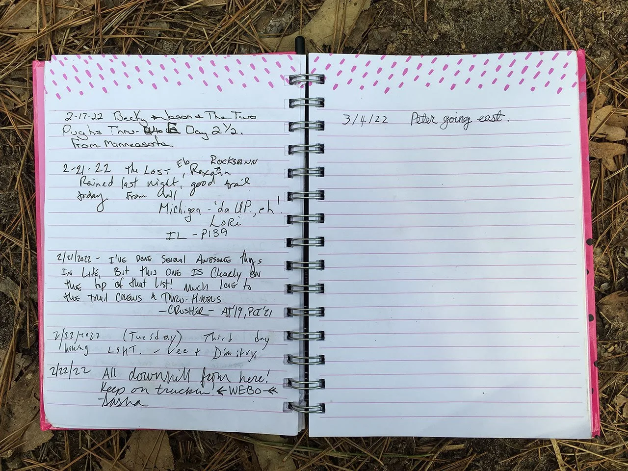
At about M38.6, it is the summit of this trail, I signed the registration book. Based on the entries, the last time a hiker passed this point was Feb 22, 2022, about weeks earlier.
There is about 4.7 miles of road walk before getting to Trailhead #8 – Four Notch. The unpleasant part of road walk for me is to deal with loose dogs. On Four Notch Rd, as I pass the first property, several dogs came running at me. I moved to the other side of the road, and took off my trekking pole. The big dogs did not come across the road, and I was able to get through this situation. About a mile down the road, I was passing a residence without a gate. A big dog saw me, and ran straight at me. I did not have time to get out my trekking pole, and I know I cannot run. So I stood there and the dog came up to about 6 ft in front of me. Now another big dog charged out from nowhere. So I was in a one-on-two situation. I shouted out loud and pretended to charge at one of the dogs. In a split of a second, I saw hesitation in the dog’s eyes. I started to back off. When the distance is far enough, I turned around. A van had come from behind and slowly moved to the contra-side of the road.
A few minutes after the dog confrontation, it started to rain. I put on my windbreaker and hiked on in the rain for about an hour.
From Trailhead #8 (M45) to about M48, the trail passes through an area undergone controlled burn recently. I walked on ashes and breathed the air with burnt wood smell. At a few spots, the fire was still alive.
Shortly after I passed the mid-point of the trail, I sat down and had my lunch. I had one tortilla and could not finish the second one. While I was seating there, questions started to fly in my mind. Why do I go through the challenges and difficulties to hike a long trail like this one? Why don’t I choose some activities in civilization instead? … I did not have answers, and I was in the middle of nowhere. I had to either walk backward or forward. I rested a little longer here like an hour lunch break.
At M48.2, the trail crossed Boswell Creek. Here I found the best water source of the day. I tried the new Sawyer water filter. I used the little scoop made from Dr. Pepper bottle to collect water, and fill up the CNOC water bladder. The water flows through the filter quickly. I like this combination of water filtering gears. I came from the right side, and continued on the left of the creek.
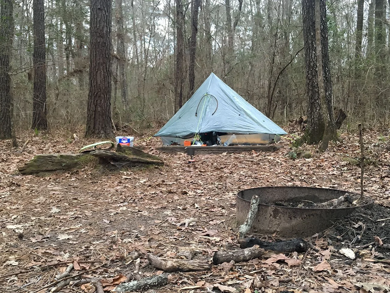
I arrived at Karolyi Campsite at M51.7 around 4:00 pm. Yes, it is named after the famous gymnastics coach Bela Karolyi. I took the best patch to set up my tent. Then I went to a nearby pond to clean myself and brought some water for the evening. You can see the fire ring in front of my tent, and Mountain House dinner is getting ready on the “bench/table”.
Late into the night, I had a hard time calming down. My heart rate was faster than normal. Eventually, I fell into sleep. About 1:00 am, I woke up by the beats of a drum band. The sounds came from distance, but I could hear clearly.
Day 5: Nero again (M54.2)
I got up early and packed everything. For the first time, I had a feeling that I really do not want to carry the weight. I sat down and rested for about an hour. During this time, I decided to hike to the beginning of the Big Woods section about 3 miles down the trail, and call for a ride to get out of trail for another nero day. I thought that not being able to get enough sleep for several days were taking a toll on me, and that a heavier backpack on Day 4 did not help.
Around 9:00 am, I put my backpack on and started to move. I did not feel too heavy, which is a good sign. At the trailhead of Big Woods section, there was a 24 hr fund raising event for WarriorAngleFoundation.com. I chatted with an event officer who is a retired US Marine, while waiting for my ride. Now I knew that the drum band playing during the night could be part of this event.
Charlotte came to get me out of trail. I got some Melatonin from Walmart and slept through most of the afternoon. I should have gotten some sleeping aid on my first nero day. I rested better through the night.
Day 6: First 20 mile day to Double Lake Campground (M75)
I made some adjustments. I packed some Melatonin pills with me. I carried 1 liter of water and two and a half days of food. I think my backpack is about 6 lb lighter than Day 4. The goal of the day is to hike to Double Lake Campground. This is a commercial camping site. It offers restroom, shower and clean water. Important to me, there are other people here. It rests my mind not running all over the places.
We left the farm around 7:00 am. Charlotte dropped me at Big Woods trailhead, and picked up two other hikers, a brother and a sister from Minnesota in their 60s. They did not want to deal with the rain later that day according to weather forecast. So they take a zero day. For me, it is an opportunity to test my tent against rain.
I started walking at 7:35 am, and had a great morning. I ran into 3 hikers. The first hiker is flip-flopper. We chatted for quite some time. He shared his experience of thru-hike the Arizona Trail. We have similar philosophy on the big three (backpack, shelter and sleeping system), i.e., light weight and comfort, but we go about it with totally different products. Here is a comparison of our gears,
What? I am 5.7 oz more on weight. Oh, well, too late to change selections! The truth is that I considered all of his selections, except the tent, and with my reasoning I picked different products. Also, I think the Zpacks backpack weight specs do not include the two waist pockets. But we both selected our gears among the best.
After hiking through Trailhead #9 – Big Woods, the trail passes by several private properties. Hikers are warned to watch out for dogs. I walked pass this stretch of road cautiously, and did not see any dogs. When I looked back on instinct, I saw a German shepherd following me quietly within 30 ft. I turned around facing the dog and walked backward for a while. The dog did not continue to follow me.
Right around noon, I hiked to Evergreen Baptist Church. It was a Sunday, and the parking lot was packed. The Hiker’s Guide mentioned that the church give hikers permission to use the water tap on the back of their sanctuary. I had my lunch here on their lawn. It was pleasant. I am 10 miles in and another 10 miles to go for the day.
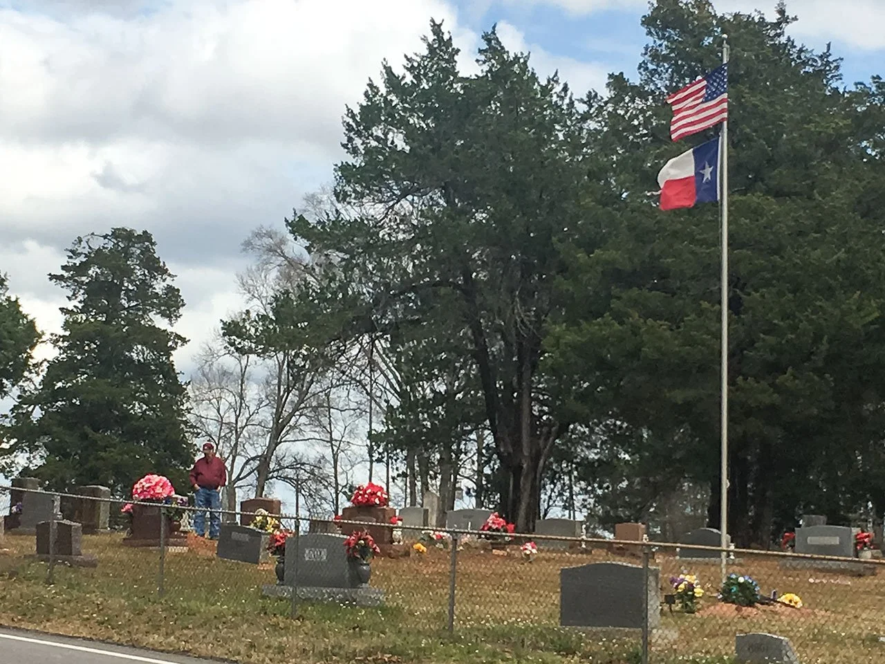
After lunch, I began road walk on FS 945. I walked by a cemetery. A truck parked on the side of the road. I saw a gentleman in his 70s, standing there and talking to someone with his tears. He raised his head, I waved at him and he waved back. I walked across the road and turned around to take a picture of him and the cemetery. It is life, just like hiking. Good or bad, we take all of them, and enjoy every minute of it. From the same spot, I turned around and took the following picture. The spring is here.
Another mile or two down the road, as I approached two properties on the other side of the road, several dogs started to bark and ran towards the road. I am seventy miles into this hike, and really do not want to be messed up by these dogs. I picked a spot, so that the dogs were still barking, but would not run across the road to me. I was hoping the owners can come out and calm down their dogs. On the other hand, I tried to stop a truck to give me a short ride pass the two properties. Sadly, I did not have the charm to stop any truck.
After about half an hour, the dogs are tired of barking and the owner of the second property did come out and locked their wire gates. So I held my trekking pole weapon style, and marched on. I passed the first property. Their dogs did not bark or ran out towards me. In front of the second property, two dogs were barking like crazy behind the wire fence. I was about to pass the second property. All of a sudden, I saw the two dogs of the first property were crossing the road and approaching me quietly. I waved my trekking pole and shouted at them. When they stopped approaching me, a car came up from behind the dogs, and almost ran over one of them. At least, the dog could get one car to stop. I drained about an hour here.
The last challenge of the day is to cross the East Fork of San Jacinto River at M71.1. The trail leads to a path where water is below knee deep and the river bed is flat. This is a safe and easy path. Instead of taking this path, I wanted to find a path without getting my feet wet. I found another path with several logs tangled together. As soon as I stepped on one, the log moved, and I fell into the river. The water reached my hip. I was able to get out it the situation quickly. I knew I made a mental mistake: safety and easy of execution should always be at the top in our thinking. We come out to embrace the elements and discomfort. I sat on a fallen tree, checked through my gears inside and outside my pack. Some water splashed onto my phone and the display was showing color bands. I got contact information off the phone, and shut it down for the day. I relied on paper map and trail marks for navigation.
I hiked to Double Lake Campground at 6:30 pm. Campground host Cindy checked me in and gave a camp site next to the public restroom and shower. I had a few minutes to set up my tent before it got totally dark. I took a hot shower and ate a small pack of pulled pork. I took some Melatonin and went to sleep. About 4:00 am, I woke up by heavy rain. I checked the inside of my tent and did not find any water. This night I kept my backpack inside my tent. In the morning, everything inside my tent is dry.
Day7: First back to back 20 mile hiking day to Finish (M96.4)
I got up early. I used the hand dryer in the public restroom to dry my shoes and socks. I cleaned the condensation inside my tent and rain water on the outside. I cooked a pack of Ramen noodle. Through the night, I kept my phone on my chest, hoping my body heat can reduce the moisture in the phone. I turned on my phone, and to my surprise it still worked.
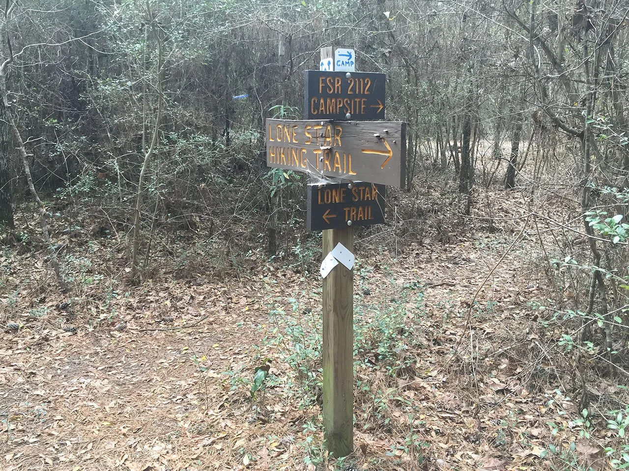
Last night, I thought I stay at this campground for a zero day. After my breakfast, I felt I can at least hike to M89.1, and spent the night at the Designated Primitive Camp, called “FS2112 Mercy Camp”. There is a water source a couple of miles earlier. Deep down in my mind, I felt I could finish this trail today. Since I hiked 20 miles the previous day, I wanted to see how my body feels through the day.
I packed my bag and cleaned the camp site. I told campground host Cindy that I would hike on today, and thanked her for a good night stay. I left the campground around 9:20 am. I walked at slower than normal, but even pace. I did not stop for lunch, just had a couple of energy bars every hour through the day. I felt relaxed and enjoyed the trail just like Day 1. I still had a little over a day’s food in my pack and only carried 1 liter of water. Decent sleep and light pack help a lot.
In Big Creek Scenic Area from M78.6 through M80.8, there are several loop trails tangled with the LSHT. It was confusing at times. I ran into a day hiker there. We chatted for a while. He hiked John Muir Trail a few years back, and described his experience to me. He guided me through this area.
I got to M89.1 at 2:18 pm according to the time stamp on the photo. From here, I was 7.5 miles to the end of the trail, and conservatively I should be able to cover the distance in 4 hours. So I texted Charlotte if she can come to get me at Trailhead #15 between 6:00 – 7:00 pm. She said yes.
The last 7 miles of the trail is muddy terrain. I was able to find paths to get through without getting a lot of mud on my shoes. The trail also crosses San Jacinto River and Winters Bayou. Permanent steel bridges are in place connecting the trail. It is a very pleasant day of hiking for me.
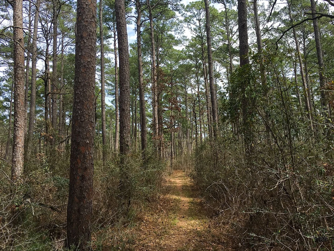
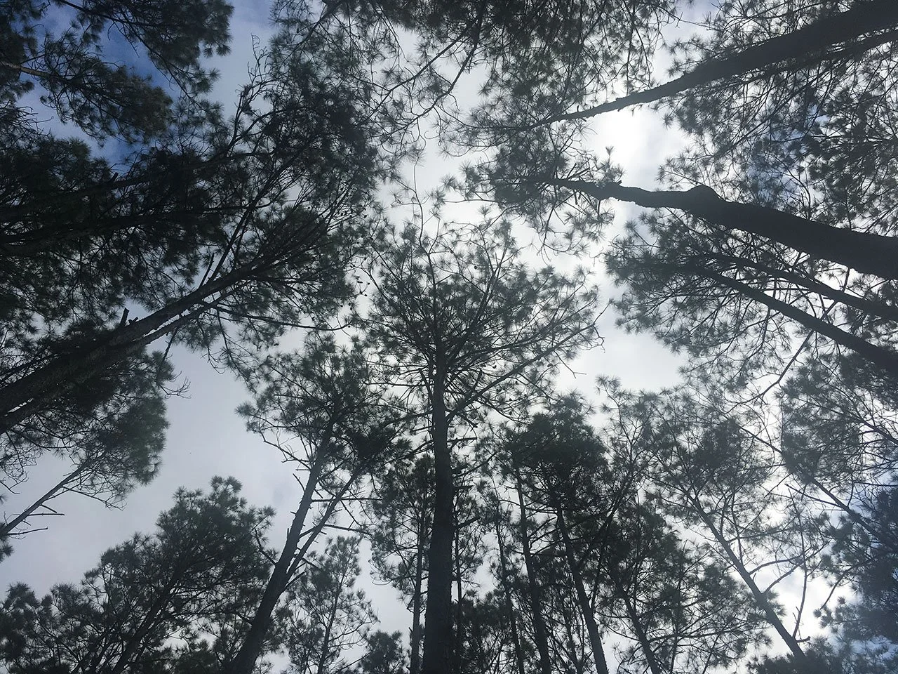
This is a very typical sighting of the trail. Most part of the trail is in the green tunnel of Sam Houston National Forest. Tall trees surround the trail. If you look up into the sky, you are well covered from the Sun.
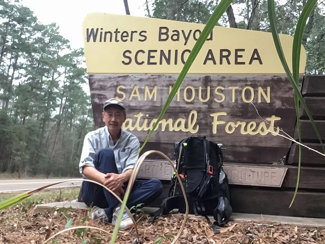
I reached Trailhead #15 – Winters Bayou, the east end of LSHT, at 5:30 pm. I took some pictures of myself around the trailhead. Charlotte came to get me at 6:00 pm. She asked me what I was feeling. I said, “I feel I can do this before I come here. Now I have done it. I can go back home and think about improvements for future hikes. I could not have done this in 7 days without your helps for sure.”
Post-Hike Thoughts
This is a first multi-day solo hike for me. I intended to take this trip as a shakedown hike in preparation for future hikes. I got to test my gears in cold and rain. I challenged my own physical limits and mental tolerance. I made adjustments when necessary and completed the trail in set time.
Before this hike, I have been preparing for many months. I carried 28 lb of weight and hiked 18 miles in a local park on many Sundays. I hike 10 miles every other day. These exercises helped me to avoid injuries on this trail. I twisted my left ankle once on Day 1, and twisted my right one on Day 6. But both times, my ankles were not strained. The trainings make my ankles stronger for sure. I was able to recover quickly after the 20 mile day on Day 6, and did another 20 mile day to finish the trail. This is only possible on the foundation of length training.
I do have things to work on. I need to sleep better on the trail. I only need 4 to 5 hours of good sleep. But when I am on the trail, I tend to be affected by sounds from different sources. I took some Melatonin on Day 5 and Day 6. It does help me. On a long trail, we have to deal with darkness from Sunset through the next Sunrise, about 12 hours. I can only sleep for about half of the time, and the rest is hard time for me. I need to find things to do in order to cope with the dark hours.
Here are my thoughts on gears.
Backpack – Hyperlite Mountain Gear Junction 55L: This backpack weights about 2 lb. It has internal frames and does not have load lifter. It is fitted to the individual’s torso size. I use sternum strap to shift pressure points on my shoulder, and waist belt to change the weight distribution between shoulder and hip. I also added a cross strap in front of my Diaphragm. When I tighten this strap, my shoulder takes less weight. It feels similar to a load lifter to me. After I walked in the rain for about an hour, I did not find any water in my main pack. When I fell into San Jacinto River to hip deep, I did find a small amount of water seeped into the bottom of my main pack. Overall, it is solid and simple. I am happy with the backpack for long hikes. I would like it better if the back mash pocket is deeper.
Tent – Zpacks Plex Solo: This is the lightest one person tent (13 oz) on the market at the time I made the purchase. It you want to go lighter, you will need to get a tarp. It fits one person with a regular/wide air sleeping pad and most of the stuff, including the backpack. The minimum number of stakes to set up the tent is six. This is what I did on this trip. If you use the 4 additional guyline, you will have more space inside. It is a single layer tent, so you can have condensation inside. When it rained in the middle of the night, the rain drops hit the outside of the tent, and break the condensation inside into tiny water droplets falling on my face and quilt. Using a water absorbing towel to clean the condensation would help.
Sleeping system - Nemo Tensor Insulated Air Sleeping Pad, Katabatic 22F Flex Quilt and Trekology ALUFT 2.0 Pillow: Every piece is well-made. They work together to provide a comfortable sleeping experience.
Dog encounters: For the parts of the trail requiring road walk, there is no leash law. For solo hikers, this is a real hassle. Hiking in a group, or taking a short ride would be good choices. According to a patrol officer, the protections one can legally carry are pepper stray, air horn, pellet gun/BB gun, stun baton. You can always use you trekking poles. Personally, I do not want to deal with other people’s dogs, but I also do not want to inflict any injuries on the dogs either. I wish there could be a middle ground, like a magic fence.
Photography: I did not bring any camera equipment on this hike. I took all the photos using my iPhone and a small tripod for phone. I am glad I did this way, because it cuts the weight of my backpack by several pounds. What would I do in future hikes? After researching for a while following the trip, I find a solution, i.e., using the latest phone. Mobile photography has come a long way in the past several years in both hardware and available apps. Latest iPhone 13 Pro/Pro Max, Google Pixel 6 Pro, Samsung Galaxy S22 Ultra, all come with great cameras. Polarizer and neutral density filters are readily available for these phones. Excellent apps for iOS and Android will take users in so many directions with their creative minds. Computational photography can help us create images that are so similar to those from today’s best digital cameras in viewer’s eyes.
